
 EN
EN
 ar
ar bg
bg hr
hr cs
cs da
da nl
nl fi
fi fr
fr de
de el
el hi
hi it
it ko
ko no
no pl
pl pt
pt ro
ro ru
ru es
es sv
sv tl
tl iw
iw id
id lv
lv lt
lt sr
sr sk
sk sl
sl uk
uk vi
vi et
et hu
hu th
th tr
tr fa
fa ms
ms hy
hy ka
ka ur
ur bn
bn mn
mn ta
ta kk
kk uz
uz ku
ku
gnss settlement sensors
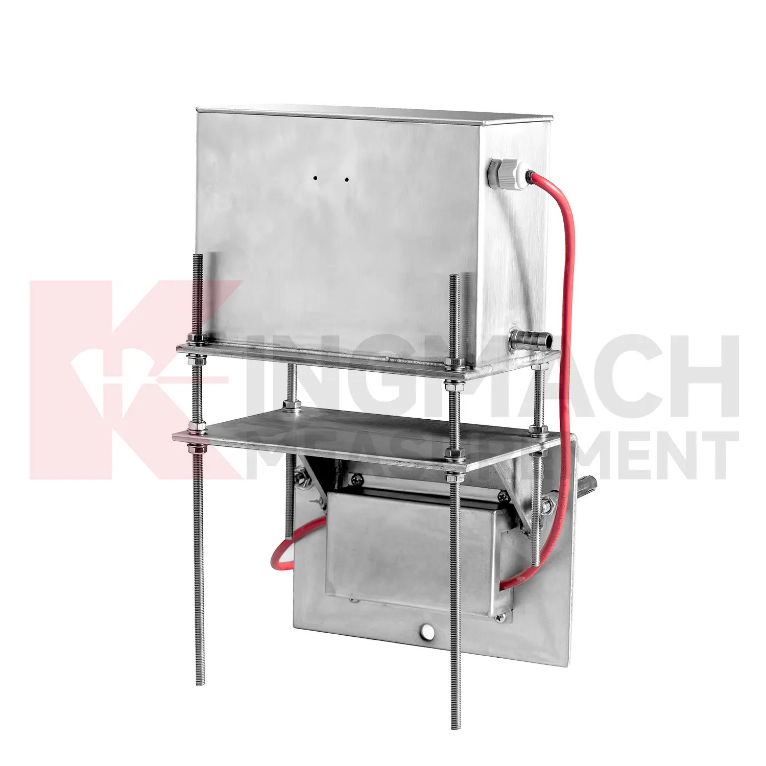
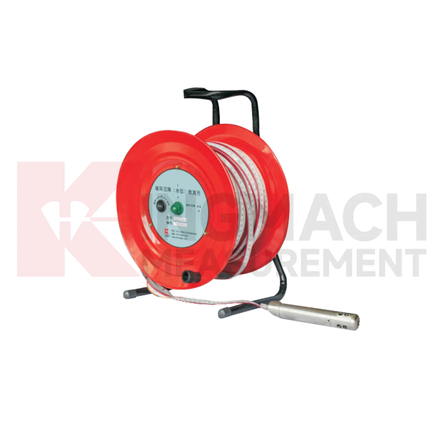
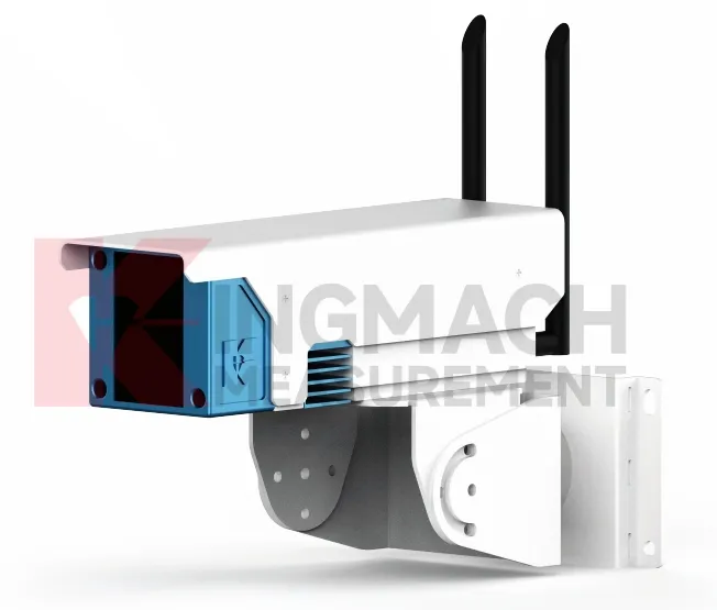
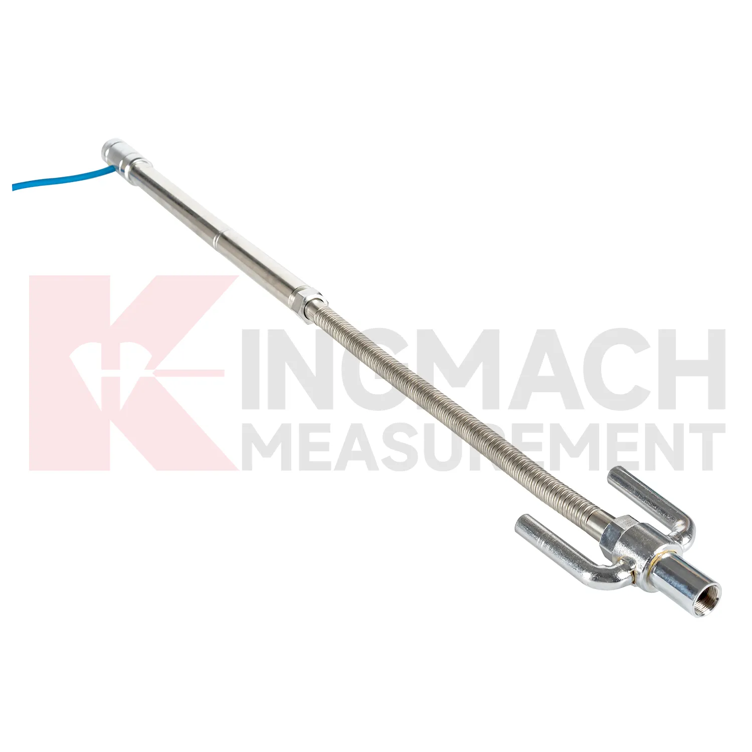
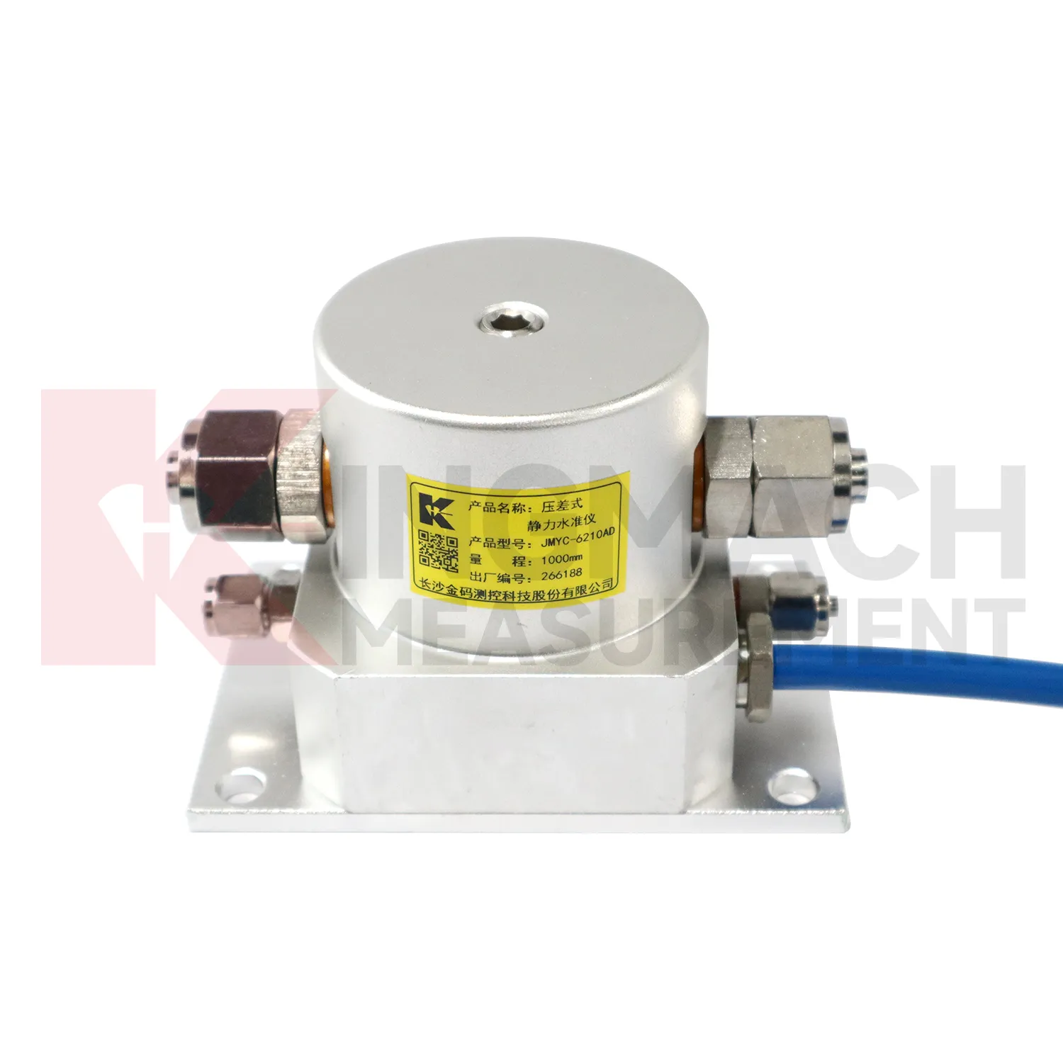
Selecting Kingmach gnss settlement sensors begins with the scale and shape of expected movement. A single embedded point, a hydrostatic comparison line, a wide-range profile, and a magnetic ring borehole answer different questions. JMDL-47XXAT covers 100 mm to 400 mm embedded settlement. JMDL-62XXADT and JMQJ-62XXADT provide 0.01 mm hydrostatic resolution for smaller vertical changes. JMYC-62XXAD covers 500 mm to 4000 mm with 0.1 mm resolution and 0.2%FS accuracy for larger movement. JMCJ-1003/1005 provides plus or minus 1 mm depth reading for magnetic ring settlement and water level checks. Selection should consider whether the structure will remain accessible, whether groundwater is part of the risk, whether automatic collection is required, and whether the reference point can remain stable for the full observation period. A short-range high-resolution instrument is not automatically better if the site may move beyond its travel. A large-range system is not always best if the project needs very small early warnings.
Application of gnss settlement sensors
In dam monitoring, gnss settlement sensors are used for long-term observation of dam body settlement, gallery deformation, foundation movement, and vertical change near water-control structures. This work has a slow rhythm: reservoir level, seepage, rainfall, seasonal temperature, and consolidation history may all affect the curve. Kingmach JMQJ-62XXADT gives micro range hydrostatic measurement with IP68 protection and 0.01 mm resolution, while JMYC-62XXAD provides wider 500 mm to 4000 mm ranges for larger vertical displacement. JMDL-62XXADT can form a multi-point hydrostatic leveling network when several positions must be compared from one reference. A dam layout should treat the reference location, tube route, cabinet position, cable protection, and access path as part of the measurement system. During operation, engineers should review settlement data with reservoir records, seepage flow, piezometer behavior, inspection notes from galleries, and downstream observation results. The goal is to see whether a slow trend matches expected consolidation or whether it appears near a structural joint, foundation zone, or water level event. Good records make annual dam-safety review more traceable and reduce confusion when readings are checked years later.
The future of gnss settlement sensors
The future of gnss settlement sensors will include cleaner digital handover records. Settlement monitoring often lasts longer than the construction team stays on site, so owners need more than a table of values. A useful handover file should include model, serial number, range, reference point, tube route, ring depth, baseline, installation photo, cable tag, borehole number, and first stable reading. Kingmach products such as JMDL-47XXAT and JMCJ-1003/1005 especially benefit from this because embedded rods, magnetic rings, anchors, and borehole readings may be hard to inspect later. When that information is stored with the curve, maintenance teams can understand why a point was installed and how its settlement should be interpreted years later. Future records should make the instrument history as visible as the measurement itself, so old readings can still be trusted after staff changes, repairs, and new construction stages.
Care & Maintenance of gnss settlement sensors
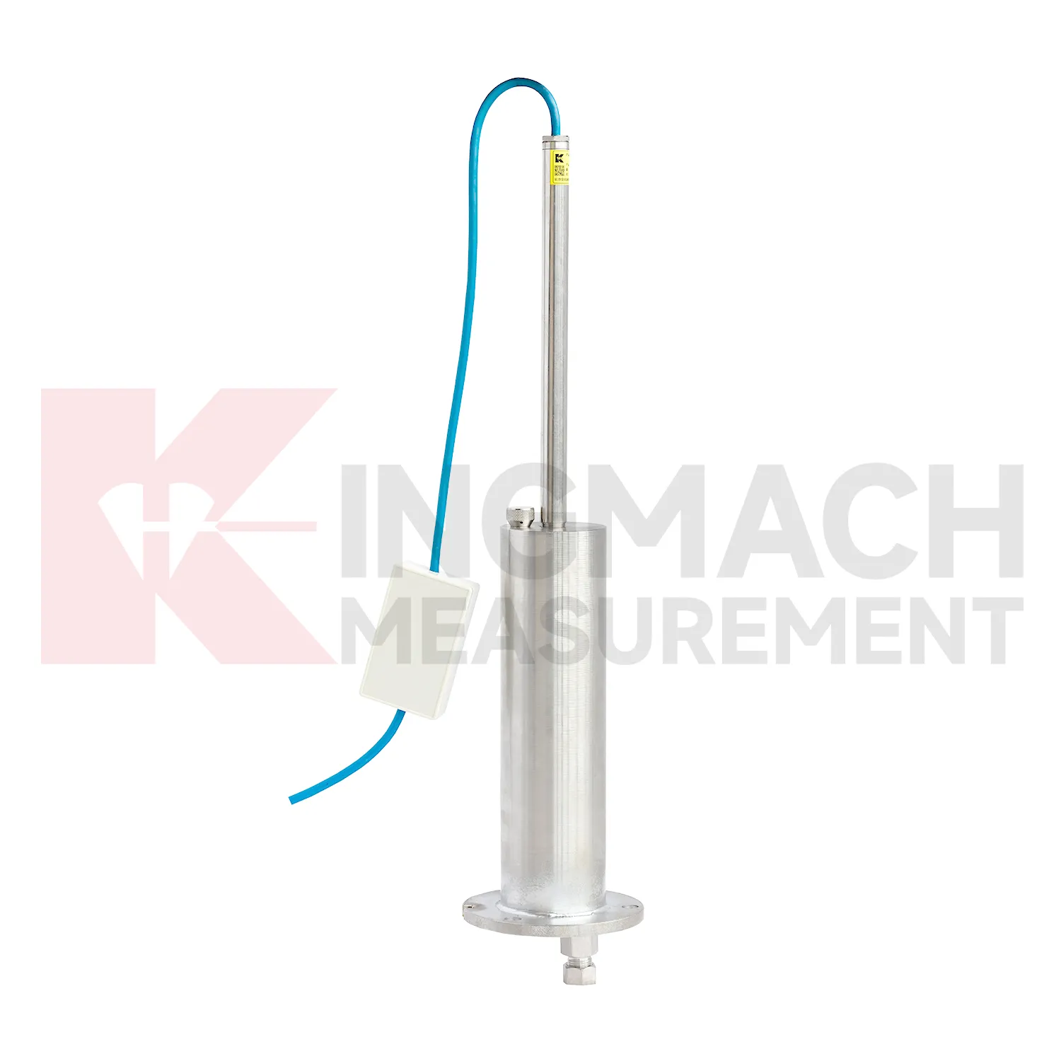
Replacement or recalibration of gnss settlement sensors must preserve continuity in the settlement record. Do not overwrite earlier data or silently move the zero value. Record replacement date, reason, model, range, serial number, reference point, first stable reading, and any change to cable, tube, cabinet, borehole, or mounting setup. If a hydrostatic reference point is moved, explain how old and new readings should be compared. If a magnetic ring borehole is repaired, note whether depth references changed. If an embedded gauge is abandoned, mark the point status clearly in reports instead of leaving a silent gap. Settlement monitoring often matters because it lasts for years, so maintenance events must be visible to future reviewers. A clean handover file should let a new engineer understand not only the curve, but also every instrument event that shaped it.
Kingmach gnss settlement sensors
For construction teams, gnss settlement sensors help turn ground behavior into decisions that can be made while work is still active. Embankment heave, pile foundation settlement, tunnel bottom uplift, dyke compression, and soft foundation consolidation may all develop during staged loading. Kingmach JMDL-47XXAT is built for embedded settlement and uplift work, with 100 mm, 200 mm, 300 mm, and 400 mm ranges. Its side-exit cable routing helps avoid interference with pavement compaction, which is a small detail with large field value. A settlement point should be checked after each fill layer, excavation step, loading stage, or traffic opening. When readings are paired with construction logs, teams can see whether movement is slowing as expected or continuing into a range that needs attention. The same record should stay readable during handover, because settlement monitoring often continues after the contractor, equipment, and temporary site marks have changed. The same record should stay readable during handover, because settlement monitoring often continues after the contractor, equipment, and temporary site marks have changed.
FAQ
Q: Which gnss settlement sensors fit hydrostatic leveling?
A: JMDL-62XXADT, JMQJ-62XXADT, and JMYC-62XXAD are used for hydrostatic or differential pressure settlement monitoring.
Q: What resolution is available?
A: JMDL-62XXADT and JMQJ-62XXADT list 0.01 mm resolution, while JMYC-62XXAD lists 0.1 mm resolution for wider ranges.
Q: Where are micro range hydrostatic sensors used?
A: They are used for dam settlement, bridge deflection, slope stability, building settlement, tunnel settlement, and subgrade settlement.
Q: What protection rating is listed for JMQJ-62XXADT?
A: The product information lists IP68 protection.
Q: What can damage hydrostatic readings?
A: Leaking tubes, air pockets, poor reference control, temperature effects, cable faults, and disturbed sensor elevations can all affect the record.
Reviews
Andrew Lee
The visualization software is intuitive and powerful. It helps us analyze monitoring data efficiently.
Daniel Brown
Excellent environmental monitoring sensors. The data is consistent, and the system integrates smoothly with our existing setup.
Latest Inquiries
To protect the privacy of our buyers, only public service email domains like Gmail, Yahoo, and MSN will be displayed. Additionally, only a limited portion of the inquiry content will be shown.
Isabella***@gmail.comGermany
Hello, we are evaluating weir flow meters for a water management project. Please share accuracy deta...
Emma***@gmail.comCanada
Dear Sir/Madam, we are interested in displacement transducers and settlement sensors for a geotechni...
Related product categories
- Wide-Range Differential Pressure Hydrostatic Level Sensor
- Inductive Frequency-Modulated Hydrostatic Level Sensor
- water level gauge
- water gauge water level gauge
- water gauge level
- gauge water level
- Magnetic Ring Settlement Water Level Gauge
- Optical Deflection Monitor
- Tilt Sensor
- Deflectometer
- Micro Range Hydrostatic Level Sensor
- Single-point Settlement Meter