
 EN
EN
 ar
ar bg
bg hr
hr cs
cs da
da nl
nl fi
fi fr
fr de
de el
el hi
hi it
it ko
ko no
no pl
pl pt
pt ro
ro ru
ru es
es sv
sv tl
tl iw
iw id
id lv
lv lt
lt sr
sr sk
sk sl
sl uk
uk vi
vi et
et hu
hu th
th tr
tr fa
fa ms
ms hy
hy ka
ka ur
ur bn
bn mn
mn ta
ta kk
kk uz
uz ku
ku
Biaxial Inclinometer
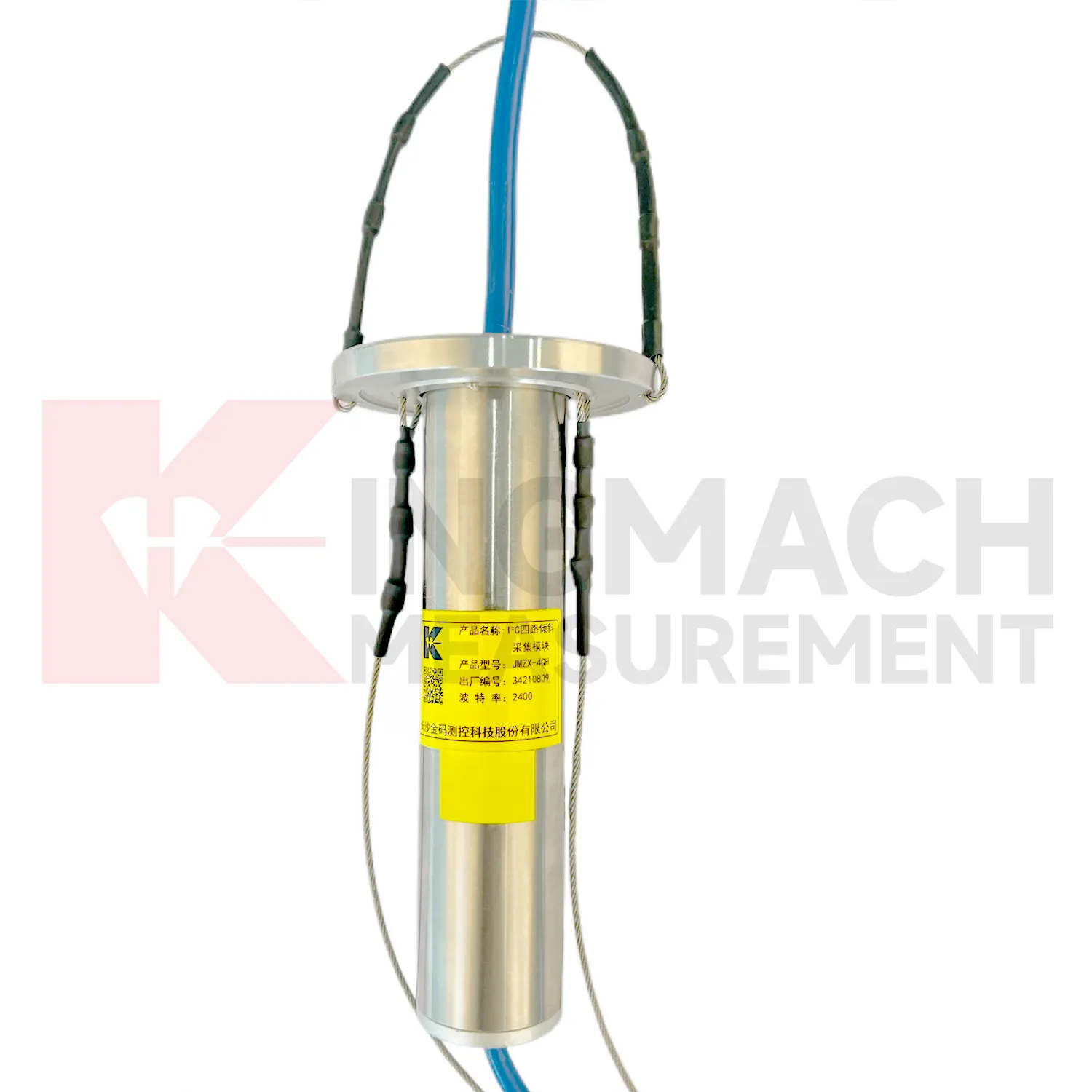
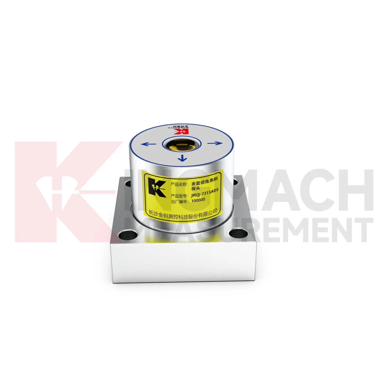
The JMQJ-7315ADS fixed tiltmeter is a key Kingmach Biaxial Inclinometer product for biaxial structural tilt monitoring. It uses MEMS technology, a high-precision acceleration integrated chip, differential measurement principles, 16-bit AD sampling, RS485 digital communication, a unique electronic code, and lightning protection design. The product is used to observe inclination angle change and deformation of bridges, buildings, railways, and other structures relative to the horizontal plane, including hidden parts that are difficult to observe by conventional methods. Published specifications include +/-15 degrees dual-axis measuring range, 0.001 degree resolution, 0.01 degree accuracy, DC 9V to 24V supply, power consumption below 0.5W, RS485 digital output, -30 degrees Celsius to +80 degrees Celsius operating environment, 55 mm by 55 mm by 46 mm dimensions, IP68 protection, and 0.6 kg weight.
Application of Biaxial Inclinometer
Tunnel projects use Biaxial Inclinometer to observe lining deformation, invert response, station box movement, shaft walls, and surrounding ground behavior. Fixed tiltmeters can be installed on structural surfaces, while in-place inclinometer systems can measure internal movement near excavation zones or adjacent slopes. JMQJ-7315ADS has IP68 protection and RS485 output, making it suitable for wet underground environments when the cable route and cabinet are protected. JMQJ-7315RTU may be useful where wireless transmission is practical. Data review should include excavation stage, support closure, groundwater, vibration, train operation, displacement readings, and crack records. The installation file should show chainage, ring number, side, axis direction, and photographs because many tunnel points look similar after construction finishes.
The future of Biaxial Inclinometer
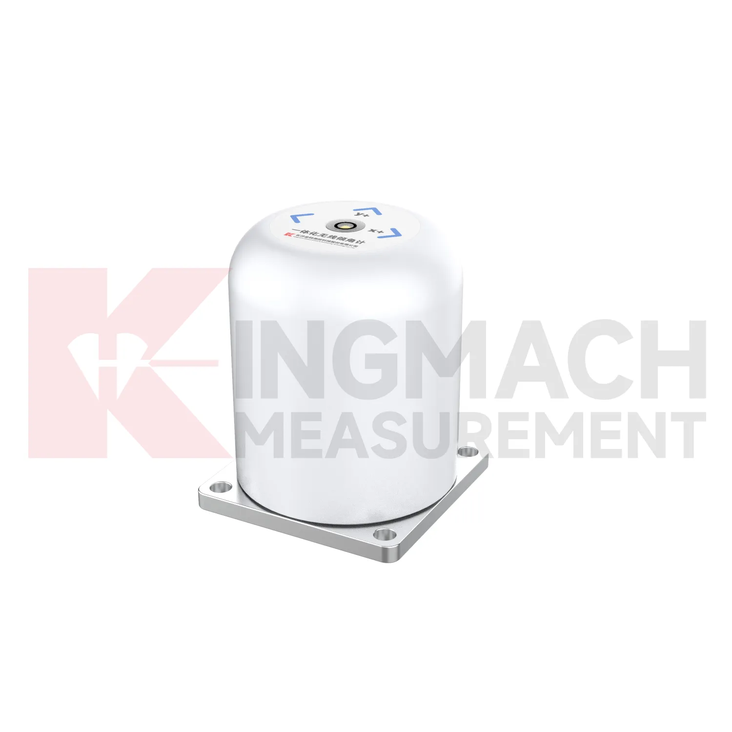
Future Biaxial Inclinometer will be specified with clearer compatibility requirements. A sensor by itself is only part of the system; the acquisition module, power supply, communication route, cable, platform, enclosure, and report format all affect performance. Kingmach product pages already list compatible data recorders and related instruments, which helps project teams build a connected monitoring package. Future specifications should state data output, channel capacity, baud rate, wireless method, battery expectation, protection grade, operating temperature, installation accessories, and software export needs. Clear compatibility reduces site delays and makes maintenance easier when parts are replaced. For owners, it also keeps the tilt monitoring record from becoming tied to one undocumented setup.
Care & Maintenance of Biaxial Inclinometer
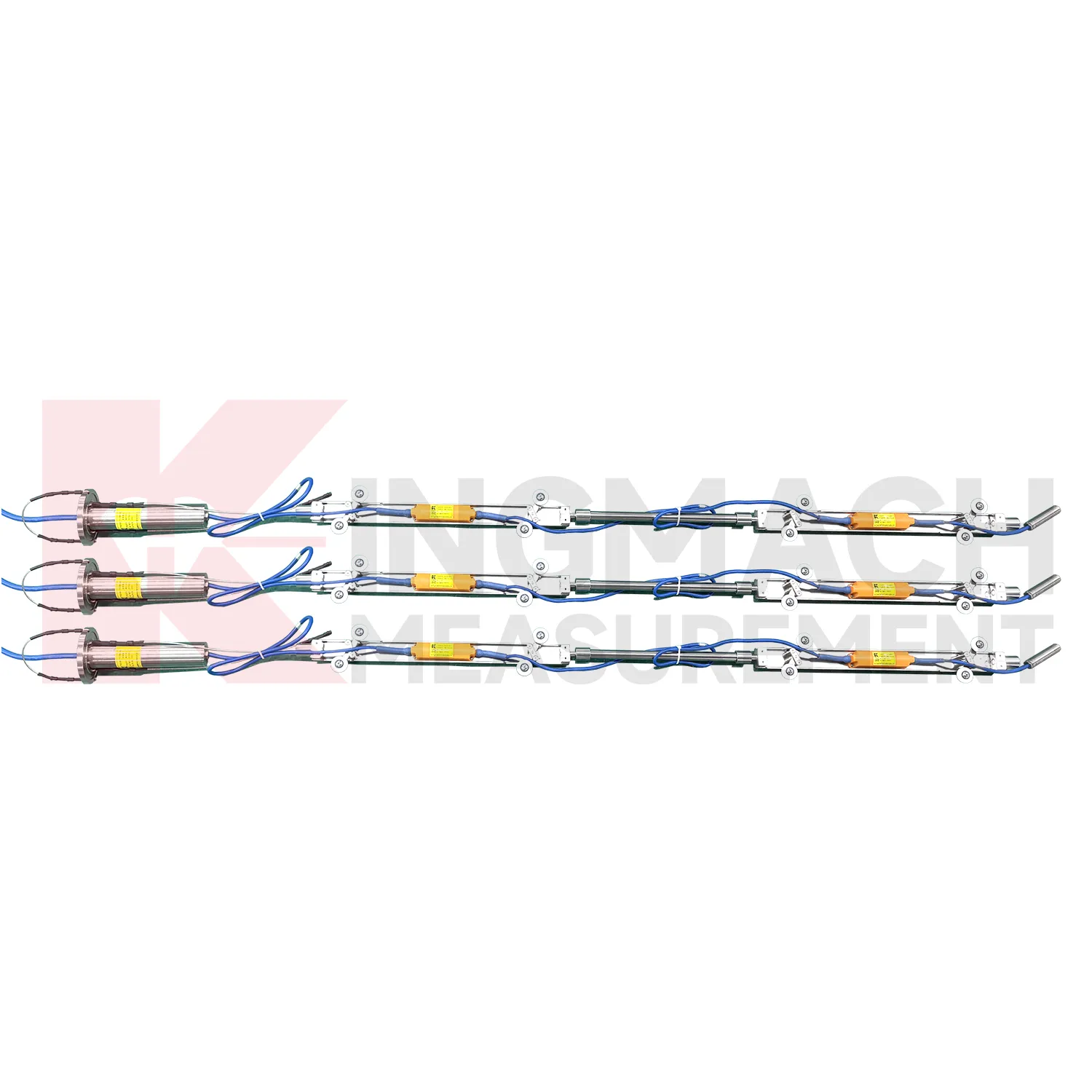
Baseline maintenance for Biaxial Inclinometer should be treated as a controlled record. The first value should be taken after the sensor, bracket, borehole string, or casing has stabilized. Do not reset a baseline silently when a curve looks inconvenient. If the point is moved, recalibrated, repaired, or replaced, keep the old value, new value, date, reason, technician, and related photographs. For in-place inclinometer systems, record depth position and group communication information. For sliding inclinometer work, keep the casing reference and reading direction consistent. A visible baseline history makes long-term tilt data easier to defend during review, especially when monitoring extends across construction stages and ownership handover.
Kingmach Biaxial Inclinometer
For automated monitoring, Kingmach Biaxial Inclinometer can reduce the need for repeated manual survey work in hidden or hazardous locations. Fixed and integrated units can connect to acquisition systems, while in-place inclinometer strings can collect multi-depth data through an orifice module. JMQJ-7315RTU is designed for remote unattended automatic measurement using 4G wireless communication. JMQJ-7915ATS supports wired or wireless upload from the acquisition module, and its low-power mode activates sensors only during data measurement. These features matter where access is restricted by traffic, excavation, weather, or operating infrastructure. Automation does not remove the need for field checks, but it gives owners a continuous record that can be compared with rainfall, groundwater, blasting, train operation, loading, or nearby construction events.
FAQ
Q: How should Biaxial Inclinometer be installed?
A: The mounting surface or borehole position should be stable, the axis direction must be recorded, and the baseline should be saved after the instrument settles.Q: Why is axis direction important?
A: Tilt values only have engineering meaning when the positive and negative directions are tied to the structure, slope, tunnel, or borehole drawing.Q: Can these instruments work in wet sites?
A: Several Kingmach models list IP65, IP67, or IP68 protection, but glands, connectors, cabinets, and cable entries still need field inspection.Q: What should be checked during commissioning?
A: Check model, range, serial number, communication, power, baseline, point name, mounting photo, channel address, and related site condition.Q: Can a tiltmeter be reset after installation?
A: It can be re-baselined when necessary, but the old value, new value, reason, date, and technician should remain visible in the record.
Reviews
Christopher Martinez
Very satisfied with the readouts & data loggers. User-friendly interface and supports multiple sensor inputs.
Daniel Brown
Excellent environmental monitoring sensors. The data is consistent, and the system integrates smoothly with our existing setup.
Latest Inquiries
To protect the privacy of our buyers, only public service email domains like Gmail, Yahoo, and MSN will be displayed. Additionally, only a limited portion of the inquiry content will be shown.
Olivia***@gmail.comUnited States
Hello, we are currently sourcing high-precision strain gauges and load cells for a bridge monitoring...
Ava***@gmail.comAustralia
Hi, I am looking for reliable tiltmeters and accelerometers for structural health monitoring. Please...